Where can I see US toll roads map
Last updated on Dec 16, 2025 · 1 minutes
You can see US toll roads map of various states on TollWiki. Some of the major US toll roads map are below:
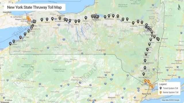 NY State Thruway Tolls Map
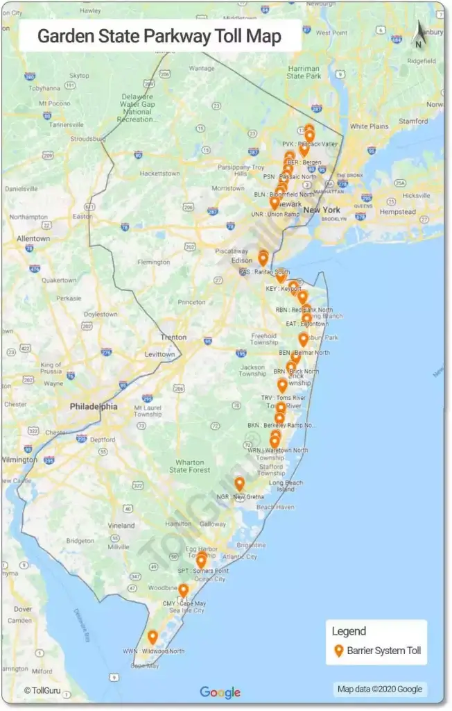 Garden State Parkway Toll Map
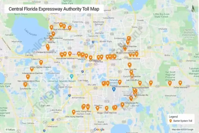 Central Florida Expressway Authority Toll Map
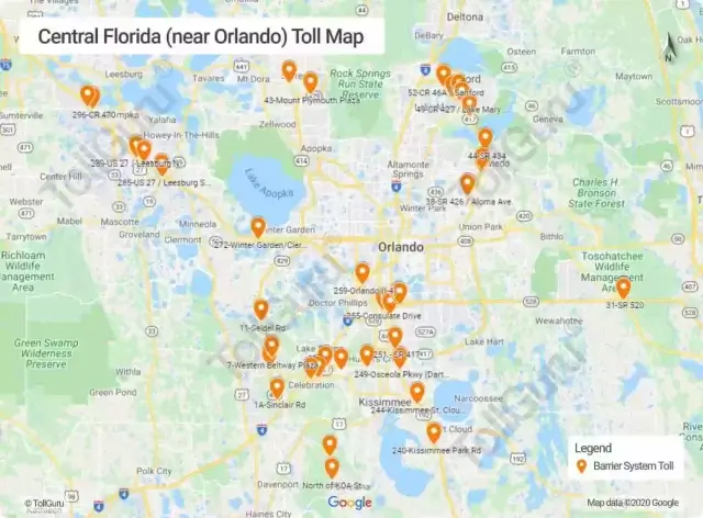 Orlando Toll Map
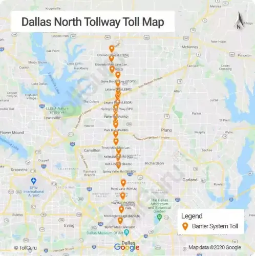 DNT Toll Map
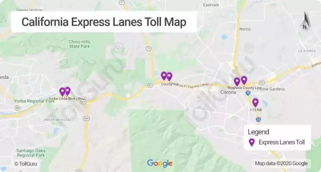 California Express Lanes Toll Map
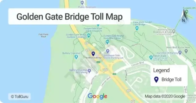 Golden Gate Bridge Toll Map
Alternatively, use US Toll Calculator to see toll plazas on Google Maps between any locations.
US Toll Calculator
US Toll Calculator – Calculate tolls and gas expenses and see all toll plaza enroute
New York State Thruway
 NY State Thruway Tolls Map
Garden State Parkway Toll Roads
 Garden State Parkway Toll Map
Central Florida Expressway (CFX)
 Central Florida Expressway Authority Toll Map
Orlando Toll Roads
 Orlando Toll Map
Dallas North TollWay (DNT)
 DNT Toll Map
California Express Lanes
 California Express Lanes Toll Map
Golden Gate Bridge
 Golden Gate Bridge Toll Map
Alternatively, use US Toll Calculator to see toll plazas on Google Maps between any locations.
US Toll Calculator
